


Winter Hiking & Tobogganing in South Tyrol
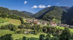
Snow Fun and Relaxation in Lüsen
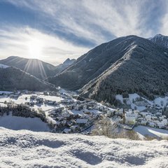
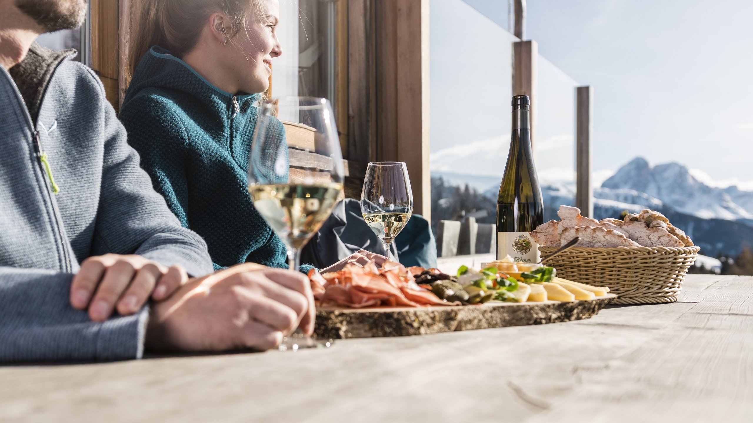
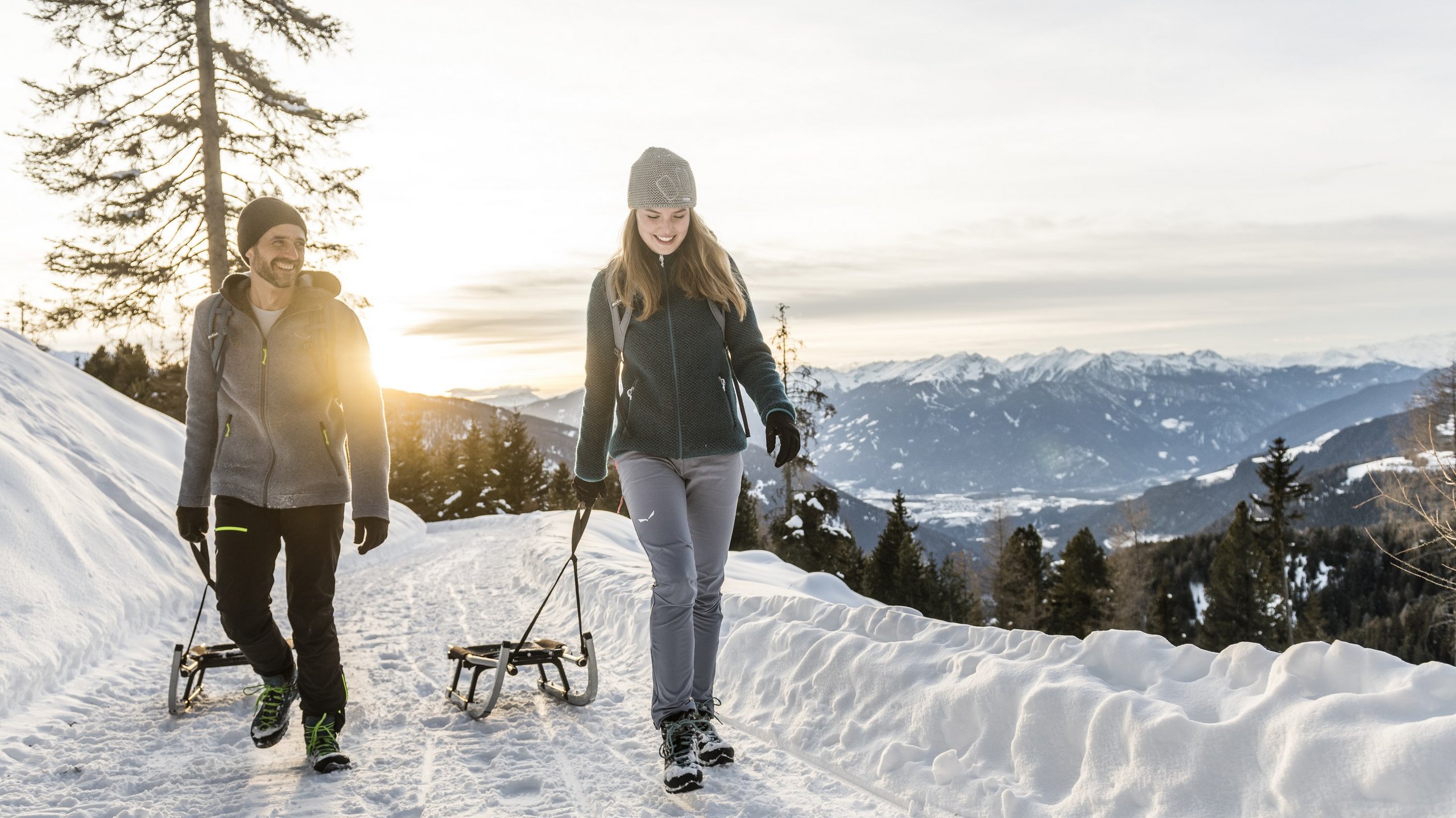
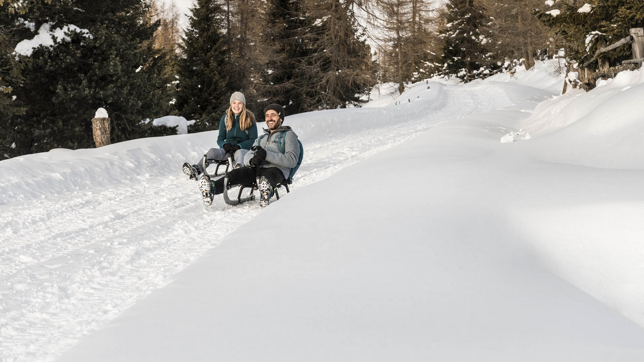
In wintery Lüsen, adventure and relaxation go hand in hand: Snow-covered hills and forested landscapes provide the perfect backdrop for tobogganing and winter hiking. The region around the Lüsnerhof offers numerous toboggan runs, promising fun and adventure – from short paths to the longest toboggan run in South Tyrol, the 9 km "RudiRun" in the Plose ski resort. For a more immersive experience, a relaxing winter hike can be perfectly combined with a thrilling toboggan ride. Cozy mountain huts along the way offer a welcoming spot to rest. A winter holiday at the Lüsnerhof provides the best conditions to fully enjoy the untouched winter landscape of the Dolomites in all its glory.
- From Tulperhof to Tulper Gampis (easy tobogganing trail)
- From Kreuzwiesenhütte down the forest path to Oberflitt, and with good snow conditions, all the way to Flitt
- On the RudiRun toboggan run, the longest toboggan run in South Tyrol, in the Plose ski resort (10 kilometers long)
- From Petschied to Kalkofen
- From Rastnerhütte down the forest path to Gasthof Herolerhof
- At our home slope, just 200 meters from our hotel in the Dolomites
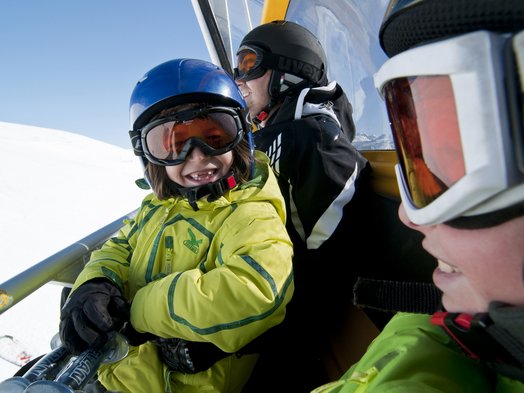
A fun toboggan ride can be wonderfully combined with a relaxing winter hike.
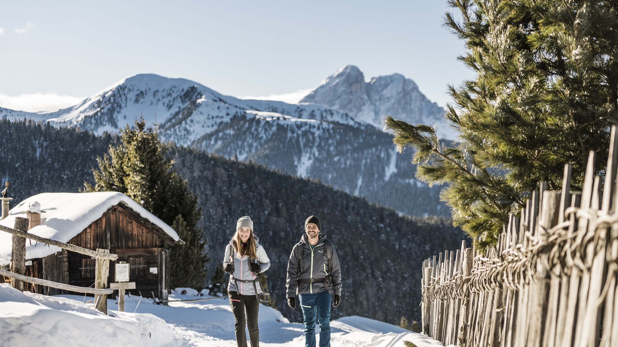

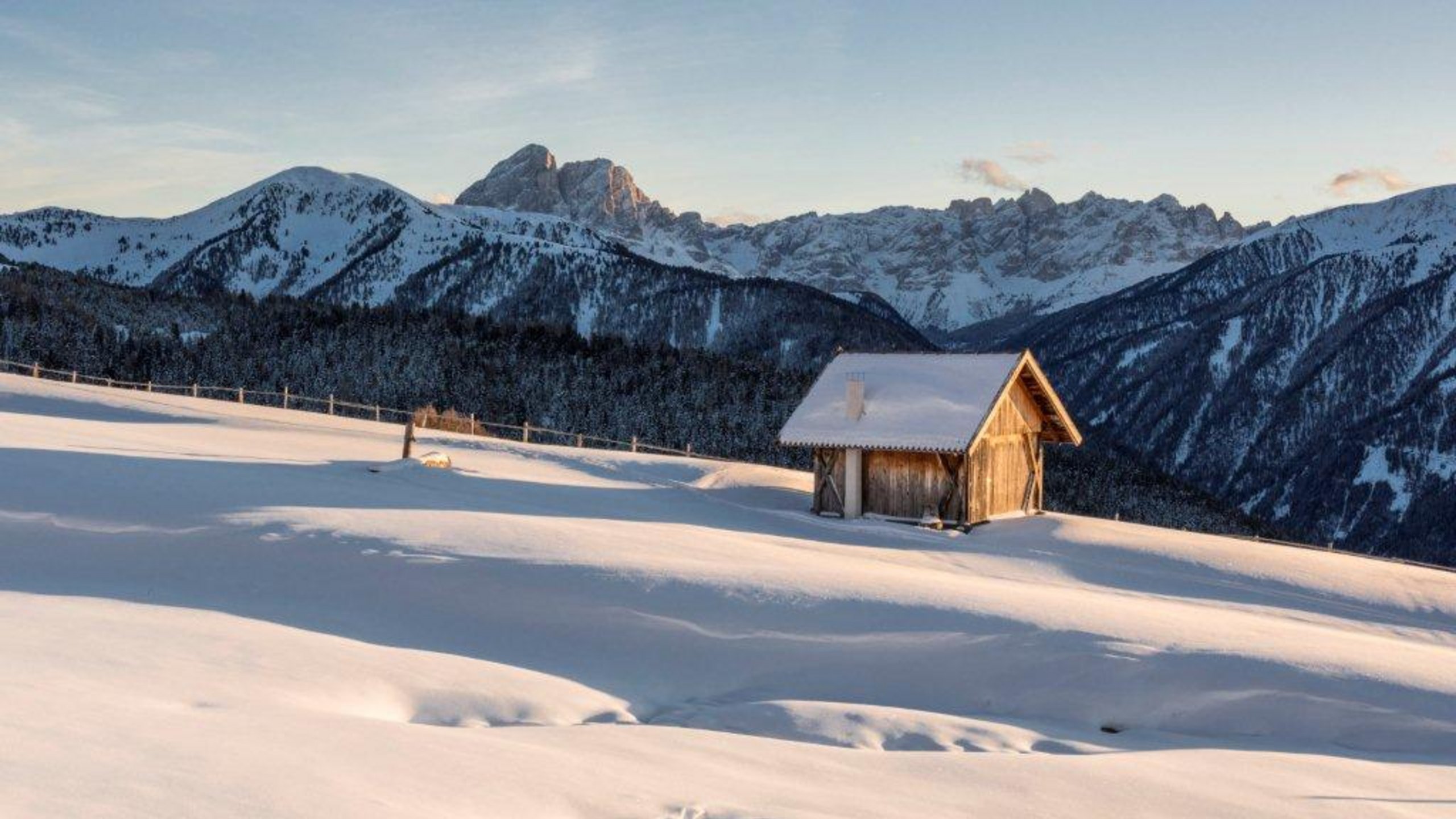
Hiking tours through the snow-covered mountains of South Tyrol
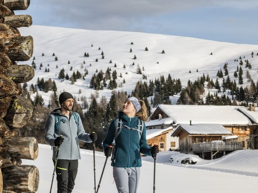
From our hotel in the Dolomites you can go on a variety of winter and snowshoe hikes. Below we have put together some of our favourite tours and excursions. Some of them can also be combined with a fun toboggan ride. Our tip: the Lüsen App with 50 tours, GPX data, and photos.
Winter hike on the alpine pasture – leisurely family hike
- 150 metres of altitude
- 4 kilometres
- 2 hours
Tour description: Tulper Gampis parking space (1,806m, 8 kilometres) > Rastnerhütte alpine trail
Return: the same route
Refreshment stops: Roner hut, Starkenfeld hut
Extension with ascent from the Heroler parking space (1,650m), in total one hour more
Demanding alpine pasture hike with steep ascent and descent to and from the Lüsnerhof
- 750 metres of altitude
- 9 kilometres
- 4.5 hours
Tour description: Lüsnerhof > Gargitt > Bacher Alm > Kreuzwiese > Gostalm > Lüsnerhof
Refreshment stops: Kreuzwiesen hut
Along the alpine path to the Glittner Ställe
- 600 metres of altitude
- 12 kilometres
- 4.5 hours
Tour description: Petschied/Laseider (1,430m, 6km) > Glittner Ställe 1,980 m > Herneggalm
A great tip for fit hikers: the descent over the pastures of the Glittner Joch (2,190m)
Beautiful winter hike
- 179 metres of altitude
- 6 kilometres
- 2 hours
Tour description: Schweiger Böden >Josen-Stampferin-Alm >Maurer-Dreiwiesen >Kreuzwiesen hut > Schmalzhaus trail > Parking space
Refreshment stops: Kreuzwiesenalm, Starkenfeld hut, Rastner hut
Leisurely hike to the Pianer Chapel
- 150 metres of altitude
- 8 kilometres
- 3 hours
Tour description: Zumis parking space (1,749m, 12 kilometres) > Alpine road > Roner hut (1,832m) > Pianer Chapel
Return: the same route
Refreshment sdtops: Oberhauser hut, Roner hut, Rastner hut
Extension to the Rastnerhütte recommended
Sunny hike across the high plateau to the Kreuzwiesenalm
- 150 metres of altitude
- 13 kilometres
- 4 hours
Tour description: Tulper Gampis parking space > 8 km Alpine road > Starkenfeld hut (1,936m) > Astalm (1,954m) > Steiner Alm (1,908m) > Raffreider Alm > Kreuzwiese refuge (1,904m) > Maurer Dreiwiesen > Oberflitt parking space (1,650m) or Flitt
Refreshment stops: Kreuzwiesenalm (Friday to Sunday)
Toboggan ride (4 km) to Flitt
A great tip for snowshoe hikers: the descent via the Gostalm
Short taster tour across the Lüsner Alm, ideal for beginners
- 180 metres of altitude
- 6 kilometres
- 2.5 hours
Tour description: Tulper Gampis parking space (1,806m, 8.5km) > Tulper Gampis > Wirtschaftsweg > Starkenfeld hut (1,936m) > Tschupwald Lake (1,985m)
Return: the same route
Refreshment stops: Starkenfeld hut, Rastner hut
Hike with toboggan descent
- 340 metres of altitude
- 9 kilometres
- 3.5 hours
Tour description: Flitt/Oberflitt parking space> 6 km toboggan ride > Maurer Dreiwiesen (1,830m) > Kreuzwiese (1,924m)
Return: the same route
Refreshment stops: Kreuzwiesenalm (Friday to Sunday), Joasenhof farm in Flitt
Ascent in the forest via the Wirtschaftsweg to Kreuzwiese
Toboggan ride (4km, mostly natural toboggan run) to Oberflitt, in good snow conditions to Flitt
Leisurely hike in winter
- 130 metres of altitude
- 7 kilometres
- 2 hours
Tour description: Gunggan parking space (9 kilometres) > Schartenbach bridge (1,800m) > Halsl (1,867m) > Halsl hut (1,860m) > Return on the same route
Refreshment stop: Halsl hut
Very romantic winter hike
- 410 metres of altitude
- 9,5 kilometres
- 3.5 hours
Tour description
Ascent: Stadel (1,600m, 7 kilometres) > Kalkofen > Mülleralm (1,735m) > Passo delle Erbe/Würzjoch (2,008m)
Descent: Road to the northeast > Geweihte Wasser parking space (1,860m) > Schwarzbach valley > Stadel parking space
Alternative for toboggan fans: Ascent > Schwarzbach valley > Geweihte Wasser (1,860m) > Passo delle Erbe/Würzjoch > Toboggan run remains the same route
Refreshment stops: Würzjoch hut, Ütja Cir
Tip: The toboggan run at Passo delle Erbe/Würzjoch is an experience for the whole family.
Sunny hike to the Rossalm with beautiful views of the Dolomites
- 150 metres of altitude
- 6 kilometres
- 2.5 hours
Tour description
Ascent: St. Andrä, Parking space at the Plose cable car (1,067m) > 13 km ascent > Kreuztal valley (2,050m) > Ski slope area > Odle/Geisler > Plose road (southern slope) > Rossalm (2,195m)
Descent: the same route (also natural toboggan run) – Kreuztal valley (2,050m)
Refreshment stops: Starkenfeld hut, Rastner hut
Leisurely, easy hike along the edge of the forest with beautiful views of the Aferer Odle/Geisler
- 100 metres of altitude
- 5 kilometres
- 1.5 hours
Tour description
Ascent: St. Andrä > Palmschoß > Ski hut 25km > Ski hut (1,900m) > Route > Schnatzgraben (1,916m) > Guflanegg (1,975m) > Gampenwiesen > Schatzer hut (1,984m).
Return: the same route
Refreshment stops: Starkenfeld hut, Rastner hut